ABOUT US
We deliver transformative intelligence using Hyperspectral Imaging and Drone Technology to collect and analyze aerial data and provide in -depth reports for you to drive business decisions in confidence.
We deliver expert inspction Service for your organization's mission critical assets using drone Technology.Through data collection and analysis, we are able to deliver transformative intelligence that apotimizes energy production, protects people, and improves infrastructure,all while simplifying maintenance and management processes.
Ascending India To It's Greatest PotentialWe strongly brlieve that man's history is being shaped according to the difficuties it encounters. These difficuties have offered us problems and claimed their solution from us, the penalty of non-fulfilment has been degradation. This diffculty has been different people of the earth and in the manner of our overcoming them lays our distinction. Indian agriculture these days is facing a severe difficulty of using optimum amount of resources and yielding highest possible harvest to feed one-fourth hungry people of the world residing here. We are thus resolved to solve the difficulties of Indian agriculture by empowering Indian farmers with the tool to identify the problems and challenges.
Talk to UsBharatRohan provides customised aerial intelligence solutions that fit clients business needs. With it’s scalable methodology the company is growing by identifying challenges and solving it through airborne innovations.
The very same technology can be used to solve various challenges specially related to farms and farmers, as they are the victims of calamities which cannot be predicted through a naked eye and circumstances can reach beyond recovery situations, assuring losses.
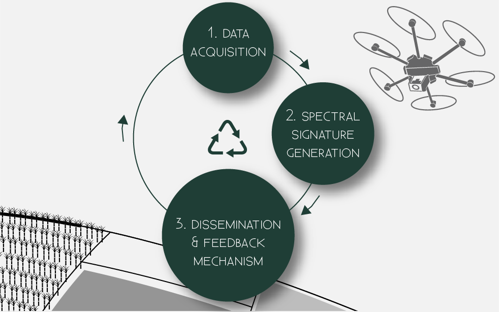
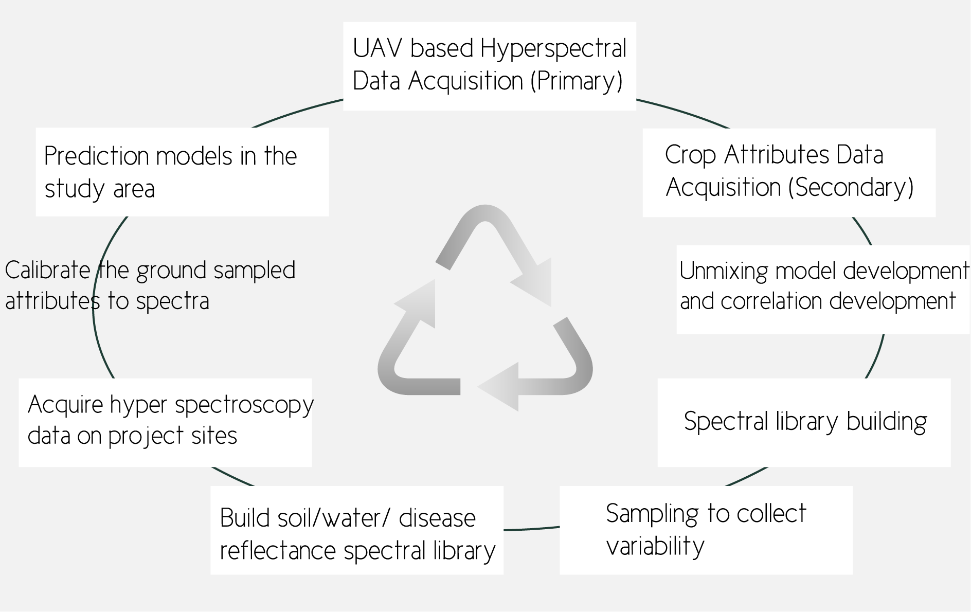
We are developing a highly efficient framework to empower our clients and build an infinite relationship with them through transformative information and support exchange (eg. pest, disease and weed infestation prediction maps as well as other transformative intelligence). We collect unique data from the clients’s farm/land using UAVs equipped with Hyperspectral Sensors. These sensors pick up minuscule physiological activities occurring in the crops/plants which are enabled by the data acquisition in the electromagnetic spectrum of 400-1000 nm with more than 100 narrow-bands. We then analyze this data in a co-relation with a spectral database that we are building steadily in the experimental farms of 110 Indian Council for Agriculture Research (ICAR) Institutes to develop information neccesary for the growth and reserach of the client.
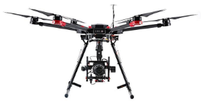
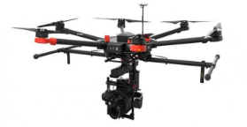
Talk to UsHIGH PERFORMANCE UAV SYSTEM
Configuration
6 Motors (Hexacopter)
Maximum take off weight
5 Kilograms
Payload capacity
2 Kilograms
Airframe material
Carbon fiber-Kevlar coating
Propulsion system
High grade BLDC motors with ABEC 7 Standard for longevity
Telemetry range
2 kilometers
Flight Endurance
40 minutes (varies on payloads)
Wind resistance
Upto 30 kmph
Area Coverage in single flight
100 acres
Operator Skills
Automatic Take-off and landing with dyanamic flight planning, automatic route selection using Map.
Ground Station Software
Survey Grid Feature
Available
Waypoint setting available
Yes
Failsafe Features
Low battery and radio link lost, return to home
Intuitive and easy to use
Yes, Graphical User interface
UNIQUE PERFORMANCE FEATURE
Talk to UsSCALABLE TECHNOLOGY
Talk to UsBENEFITS